
Most people who plan a walking trip to Bulgaria point straight at Rila and Pirin. Those ranges are high, they are famous, and in July they can feel busy. If you want off the beaten path hiking in Bulgaria, look further south instead, to the Upper Arda valley in the eastern Western Rhodopes, where the village of Mogilitsa sits at 960 metres, 26 kilometres south of Smolyan and close to the Greek border.
The walking here is a different kind of day out. The trails roll through pine and beech forest, climb to meadows and cliff views, and then drop you back to a quiet village where you may not have passed another walker all day. The routes are gentler than the granite ridges further north, but they are not soft, and the reward is space to yourself.
Why skip the crowds and head for the Upper Arda
The high Bulgarian ranges earn their reputation. Rila and Pirin give you serious altitude, sharp granite and glacial lakes. They also draw the crowds, and the popular circuits can feel like a queue on a good summer weekend. The Rhodopes are a quieter proposition. They are rounder and more forested, and the Upper Arda in particular sees very few walkers on its paths.
That is the whole point of coming here. You trade the postcard peaks for solitude, birdsong and long views over ridge after ridge of forest. The landscape rewards slow attention rather than a race to a summit selfie. If your idea of a good day is walking for hours without meeting anyone, this valley delivers it.
- Location: Upper Arda valley, eastern Western Rhodopes, 26 km south of Smolyan
- Village altitude: 960 m, close to the Greek border
- Terrain: pine and beech forest, open meadows, cliff viewpoints
- Traffic: the routes see very few walkers
The character of the trails
These are not the exposed rock scrambles of the higher mountains. The Rhodope paths climb steadily through trees, break out onto pasture, and then reach a cliff edge or a ridge where the forest falls away and you can see for a long way. Locals describe one such view as a sea of mountains, and the phrase fits: layers of wooded ridges running to the horizon.
Because the gradients are kinder than Rila and Pirin, the valley suits walkers who want a real day in the hills without technical ground. That said, distances and total ascent can still be substantial, so read the route facts before you commit. There is a spread of options here, from a short cave walk of under a kilometre to a full fortress day of nearly 20 kilometres.
Eight routes, from a short cave walk to a full fortress day
The routes around Mogilitsa cover a wide range of effort and interest, so you can build a trip that matches your legs and your time. Here is the shape of them, shortest to longest.
- Nadarska Cave: a short trail of 850 m and about 100 m of ascent to an undeveloped marble cave, entered with a guide and a headlamp.
- Lisagora Panoramic Tower: a 3.9 km walk with about 456 m of ascent to a 19 m steel tower on Lisa Gora (1,424 m) with a 360 degree view.
- Source of the Arda and Ardin Peak: 4.5 km to the spring where the Arda, the longest Rhodope river, rises under a century-old beech, with an optional 7 km push to Ardin Peak (1,730 m) on the Greek border.
- The Peak Viewpoint: a cliff platform at 1,351 m with a glass-floored final section and a strong claim to the best sunrise in the area, 4.6 km and about two hours each way.
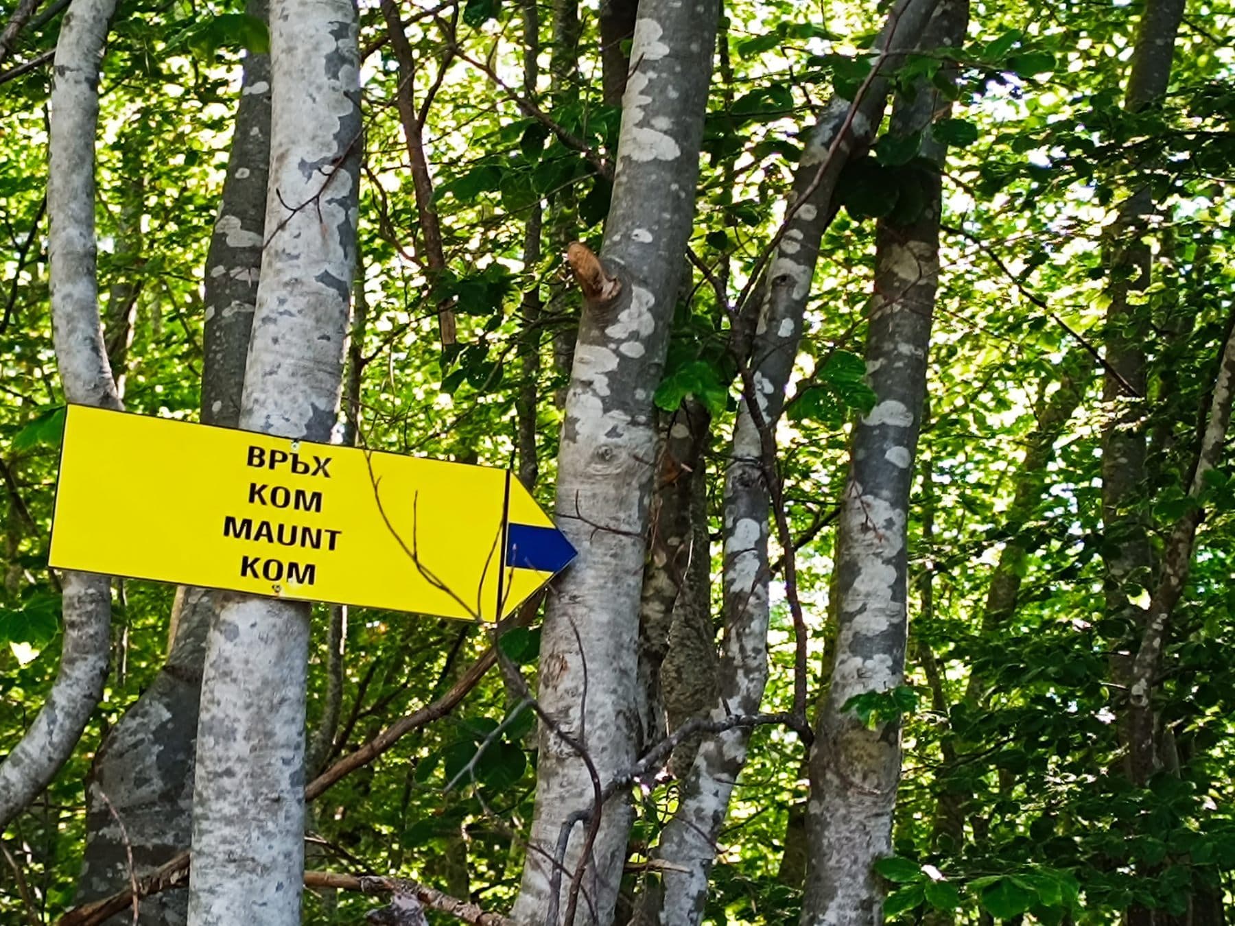
- Mount Kom: a ridge regarded as sacred, 4 to 5 hours and around 500 m of ascent, past an ancient sanctuary and a small chapel restored by locals.
- Kartalov Clearings: a 15 km loop with 798 m of ascent over Kartalov Peak (1,478 m), passing a rock inscription and a village church.
- Varadsko Fortress: the big day, 19 km and 7 to 8 hours to a rocky peak above 1,200 m with ancient defensive walls.
Three routes worth planning a trip around
Varadsko Fortress is the standout full day. The walk starts in Mogilitsa beside Bulgaria's largest wooden spoon and ladle, passes the abandoned village of Varad, and climbs to a rocky peak above 1,200 metres where defensive walls were used in turn by Thracians, Byzantines and Bulgarians. At the top you get that sea of mountains view. At 19 kilometres and 7 to 8 hours, it asks for an early start and a good level of fitness.
Mount Kom is shorter but rich in atmosphere. The ridge is regarded as sacred and is wrapped in legends, including the possibility of a sanctuary of Dionysus. On the way you pass an ancient sanctuary and a small chapel that local people restored. Reckon on 4 to 5 hours and around 500 metres of ascent.
For history of a different age, Kartalov Clearings takes you over Kartalov Peak at 1,478 metres and past a rock inscription thought to be 4,000 to 5,000 years old and likely Thracian. The loop also passes the Holy Trinity church in Kremene, built in 1896. It is 15 kilometres with 798 metres of ascent, a solid medium day.
Being honest about difficulty, and why a guide helps
The gentler grading does not mean these are casual strolls. A route like Varadsko Fortress is a long day on your feet, and the higher options climb over 1,400 metres. Ground can be rocky, waymarking is not the dense network you find on the famous ranges, and the whole appeal of the area, its emptiness, also means there is little passing help if things go wrong.
This is where a local guide earns their place. The Mogilitsa society behind these routes was founded in 1965 and revived in 2017, and its guides speak English and will guide any of the routes on request. They know the turns, the history and the safe line through less obvious sections. For the Nadarska Cave in particular you should not go in alone: it is undeveloped, and you enter with a guide and a headlamp.
- The routes are gentler than Rila and Pirin but still involve real distance and ascent.
- Waymarking is light and the paths are quiet, so navigation matters.
- English-speaking local guides can lead any route on request.
- The marble cave should only be entered with a guide and a headlamp.
Practical notes for planning
The best walking season runs from late spring to autumn, which keeps you clear of winter snow at altitude and gives long daylight for the bigger routes. Base yourself in Mogilitsa itself and you can reach every trailhead from the village.
Bulgaria uses the euro, so budget in euros for guiding, food and any local costs. Bring proper footwear, water, layers for the cliff-top wind and a head torch if a cave is on your list.
Common questions
- Where exactly is the Upper Arda hiking area?
- It is in the eastern Western Rhodopes around the village of Mogilitsa, 26 kilometres south of Smolyan at 960 metres, close to the Greek border.
- How hard are the routes compared with Rila and Pirin?
- They are gentler, rolling through pine and beech forest to meadows and cliff views rather than crossing exposed granite. Distances still range up to 19 kilometres, so some days are long.
- Do I need a guide?
- Not for every route, but a guide helps a great deal. Waymarking is light and the trails are quiet. Local English-speaking guides can lead any route on request, and the Nadarska marble cave should only be entered with a guide and headlamp.
- What is the best time of year to visit?
- Late spring to autumn gives the best walking conditions and long daylight for the bigger routes such as Varadsko Fortress.
- What should I know about booking and costs?
- Bulgaria uses the euro, so plan your budget accordingly. A local guide can arrange the details and match the day to your fitness.